Hanoi tours - In the Master Plan for the Capital City with a 100-year vision, the Red River is identified as a strategic spatial axis, serving not only transportation and urban development but also as a highlight for tourism, ecology, and culture, connecting major landscape spaces of Hanoi.
With a long-term vision, the Red River axis is identified not only as a central ecological corridor but also as a new symbolic axis for cultural, tourism, and service development in the capital. This is the first time that the river, which has been closely associated with the history of Thang Long - Hanoi for thousands of years, has been placed in a central position in the urban development structure, instead of just being a flood drainage space and a natural boundary.
According to published plans and guidelines, the Red River axis will be organized as a continuous landscape boulevard, connecting cultural, historical, and creative spaces on both banks, from the Ba Vi - Son Tay area, through Co Loa, the historical inner city, to the eastern gateway region.
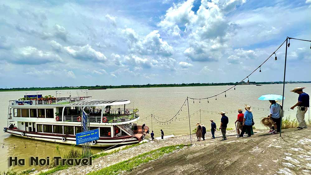
Along this axis, the city prioritizes the development of open public spaces, riverside parks, cultural squares, pedestrian walkways, tourist boat docks , and viewpoints, gradually creating a "riverfront" for Hanoi - something the capital has lacked for many decades.
In terms of tourism, the Red River axis is considered the backbone for restructuring urban tourism products, connecting heritage with contemporary experiences. Key destinations such as Thang Long Imperial Citadel, the Old Quarter, West Lake, Co Loa Citadel, ancient villages along the river, and the sandbars in the middle of the Red River will no longer develop in isolation but will be linked by interconnected waterway, road, and pedestrian zones. River tourism - which is still relatively underdeveloped in Hanoi - is expected to become a new distinctive product, complementing heritage and cultural tourism.
Notably, the Red River axis planning emphasizes the element of creative culture. The riverbanks, sandbars, and areas along the dike are oriented for flexible exploitation for festivals, art performances, outdoor exhibitions, and large-scale tourism and cultural events, thereby breathing new life into the riverine landscape that has been "frozen" for a long time. This also forms the basis for creating "event destinations" - a trend being pursued by many major cities around the world .
Alongside tourism, the Red River basin is also identified as a crucial ecological space, playing a role in regulating climate, protecting biodiversity, and improving urban quality of life. Development projects along the river must strictly adhere to regulations on flood control, ecosystem conservation, limiting concrete construction, and prioritizing green architecture and low-rise buildings. This is a key condition for sustainable riverside tourism development, avoiding the repetition of short-term exploitation models that put pressure on the environment.
From an economic and tourism perspective, the formation of the Red River axis is considered to open up new growth opportunities for Hanoi's tourism industry, extend the length of stay of tourists, disperse the flow of visitors away from the overcrowded inner city, and create more experiential spaces for the people.
When seamlessly integrated with strategic transportation axes and satellite urban systems, the Red River axis not only serves inner-city tourism but also plays a regional linking role, connecting Hanoi with neighboring tourism centers in the Capital Region.
Clearly, the Red River axis is not simply a planning project, but a new development declaration for Hanoi: bringing the river heritage back to the center of urban life, transforming the historical river into a driving force for tourism, culture, and creativity, contributing to shaping the image of the capital city in the long-term development phase.
Source: https://hanoitraveltour.com/news/unlocking-red-river-potential-for-hanoi-tourism-development.htm
No comments:
Post a Comment